
High Point Sources for Previous Residents
A backward address trail uses different evidence for different eras. Guilford’s parcel tools identify the present parcel and its situs address, while the Register of Deeds ties names to recorded land documents. HRC’s directories can supply household clues from 1910 forward, and the federal census gives a household snapshot through 1950. Maps help date the structure or street pattern. Permit activity can mark a later alteration. None of those sources alone proves every person who lived at an address, so keep each record’s date and purpose visible in the notes.
| Source | Years | Where | What It Shows |
|---|---|---|---|
| Guilford parcel and appraisal records | Current online data; historic cutoff not exposed | Guilford Real Property Listing and NCPTS | Owner string, situs and mailing addresses, REID/PIN, and current parcel identifiers. |
| Register of Deeds land records | County says 1771-forward | Guilford Register of Deeds | Grantor, grantee, document date, legal description, lot or subdivision, and record reference. |
| High Point city directories | HRC says 1910-present | Heritage Research Center; selected DigitalNC scans | Name and address clues, with entry fields checked in the actual volume. |
| Federal census schedules | Through 1950 public release | Federal census resources and library databases | Household composition at the census date, not a continuous address history. |
| Sanborn and permit material | Sanborn ranges vary by collection; permits reported July 2024-July 2026 | LOC, HRC, NC LIVE, and High Point records | Structure, use, street pattern, or a documented project change, not occupant proof. |
High Point extends into Guilford, Forsyth, Randolph, and Davidson Counties. A High Point postal line does not guarantee a Guilford parcel or deed. Confirm the parcel’s jurisdiction first, then move to the county that actually maintains the land record.
Start the High Point Parcel Trail
Use the Guilford County Real Property Listing search to locate a current parcel by parcel number, owner name, or address. The related NCPTS search accepts owner or business name, location address, REID, and PIN. Save the owner name exactly as returned, the situs address, the mailing address, the REID or PIN, and any subdivision, lot, block, or legal-description language. The situs identifies the land or building. The mailing line tells the county where tax correspondence goes, and it is not evidence that the owner lived there.
When the property portal and street name disagree, use the county GIS and High Point’s thePoint jurisdiction layers before assuming the wrong address is historic. A parcel can be split, combined, or described from a parent tract. The old land description and plat will usually carry the chain farther than the modern street number.
High Point Deed Trail for Earlier Residents
Guilford County says its land-record indexes and images reach back to 1771. The direct live search interface was unstable during source inspection, so exact online fields, image availability, fees, export options, and a web cutoff were not verified. Start with the Register of Deeds real-estate-records landing page, then use the High Point branch at 325 E. Russell Ave., Room 155, or call 336-641-7556 when an index result needs an image or the web route fails.
The Guilford Register of Deeds real-estate-records landing page is the source for this High Point deed-record capture.
The landing page is an access route, not evidence that a particular deed image or grantor-grantee result was available during the inspection.
The Guilford deed-index entry point is the source for this additional High Point previous residents capture. Its live form and coverage details did not render reliably during research.
The capture documents the intended index route, but no search field, result column, image access, or date coverage is inferred from it.
- Find the parcel’s current owner and legal description in the county property record.
- Locate the deed in which that owner appears as grantee, the party receiving title, and compare the legal description with the parcel.
- Read the earlier grantor, the party conveying title, then search that person or entity as a prior grantee.
- Repeat the comparison through prior deeds, checking initials, married names, estates, trustees, and entity names.
- For an older or unclear result, request or inspect the recorded image, deed book, microfilm, or other office-held record before extending the chain.
- Grantor and grantee
- The grantor conveys an interest in property. The grantee receives it. Those roles can reverse on the next transaction in the chain.
- Chain of title
- The sequence of recorded instruments used to connect one owner’s acquisition to an earlier conveyance.
- Legal description
- The recorded land wording, such as a lot, block, subdivision, metes-and-bounds call, or tract reference. It is more durable than an address.
High Point Previous Residents and Parcel Changes
Past residents can disappear from an address search when the parcel history is the real problem. Compare the lot, block, subdivision, easement, right-of-way, and plat language in each deed. A subdivision plat may assign a new lot number; a recombination can merge parcels; and a split can send later ownership into a smaller legal description. The deed chain remains useful only if the description is tested each time rather than treated as a string of matching surnames.
For a forward check, search a known owner as grantor and read the later instruments involving the same parcel description. A deed of trust is financing evidence, not a transfer of title. A satisfaction or release closes that financing instrument, but it does not by itself establish a new owner. Plats and recorded images are particularly important where the modern address did not exist at the earliest point in the trail.
Note: No verified High Point street-renumbering record was located, so use the legal description, plat, old street index, and map rather than inventing a renumbering year.
High Point Past Residents in Directories
Ownership is only one layer of a house history. HRC holds printed High Point city directories from 1910 to the present, and selected early editions are discoverable through DigitalNC. Search the household name and street around the year of a deed, then read any available street or address section. A named reverse or criss-cross High Point directory run was not verified in the official sources, so ask HRC whether a particular volume includes an address-ordered section. The collection details and entry-reading rules are kept with the High Point city directory collections.
The Heritage Research Center local-history page is the source for this High Point previous residents image.
HRC combines directory volumes with staff-assisted obituary-index help, local microfilm, yearbooks, and vertical files, which can clarify a household lead without turning a directory line into proof.
DigitalNC record 25276 for the 1910-1911 High Point directory is the source for this additional capture.
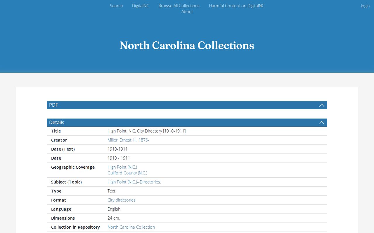
The record page had an access gap during research, so confirm its scan, page, and individual listing before relying on a transcription.
- Choose directory years close to the purchase or sale dates in the deed chain.
- Record the exact name spelling, address, directory year, page, and any abbreviation key.
- Pair the directory with the nearest public census schedule. The latest generally released census is 1950.
- Use the date difference to test a move or household change, then resolve it with a deed, obituary, or original newspaper issue.
Sanborn Maps Date High Point Structures
Fire-insurance maps answer a different question from directories. They can show a building footprint, construction material, use, street grid, and fire-risk labels. They do not identify who lived there. The city’s local-history account gives High Point Sanborn coverage from 1885 to 1956, while the NC State digital list identifies 11 maps through 1950. State each source’s range rather than blending them into one claim.
The Library of Congress 1896 High Point map is a four-sheet public scan that can be used as a reproducible street-and-structure check. Match its street pattern to a deed description or a plat before applying it to a modern parcel. HRC, NC LIVE, and Library of Congress access routes do not mean every year or sheet is online in the same place.
High Point Address Change Points
Current permits and inspections can explain why a property looks different from its older map or deed description. The city publishes monthly permit and inspection activity for July 2024 through July 2026 and identifies Accela Citizen Access and Build High Point as public development-record routes. The monthly reports are aggregate context. For one address, search a public project record when available, then request the permit or inspection file through the city if a date or document must be verified.
A permit can mark an addition, alteration, inspection sequence, or project, but it does not prove a household lived at the address. Treat it as a change point in the physical history and pair it with land, directory, or census evidence for a person-related claim.
High Point Previous Residents: Estates and Gaps
When the land and directory trail ends at a death or estate, use the Guilford County Clerk of Superior Court for estate, probate, and special-proceeding files. An estate caption can lead to an heir or a property transaction, but the statewide court portal is not a substitute for the complete clerk file. The North Carolina Archives index to Guilford widows’ year’s-support records covers 1894 to 1968 and offers a separate surname-to-estate route. HRC’s Enterprise obituary index and microfilm can add date and family context, although its pre-1915 newspaper run is incomplete.
For the earliest Guilford trail, county land records begin in 1771, but no Guilford Court Minutes survive for 1771 to 1781 and colonial material is scant. That documented gap is a reason to turn to land books and later State Archives series, not a reason to fill in missing ownership or household facts. Keep each missing record type marked as an absence.