
High Point ZIP Code Coverage
The official sources reviewed identify seven ZIP patterns connected to High Point. Their descriptions below stay deliberately narrow because USPS notices establish postal operations and last-line examples, while thePoint supplies the boundary polygons. The table does not assign neighborhoods or county coverage that the official postal materials did not establish. For any street, use the High Point ZIP layer and the parcel’s city and county overlays before treating a ZIP as a geographic answer.
| ZIP code | High Point coverage | Postal anchor | Research note |
|---|---|---|---|
| 27260 | Standard High Point delivery area; broad central and southern postal place | High Point S&DC, 315 E. Green Drive | Use GIS for parcel-level limits |
| 27261 | High Point P.O. Box or alternate last-line use | High Point postal place | Not a situs or residence indicator |
| 27262 | Standard High Point delivery area | High Point S&DC; Emerywood Station example | Courthouse and institutional postal examples use this line |
| 27263 | Standard High Point postal place | High Point S&DC | Do not assign county from ZIP alone |
| 27264 | Retained P.O. Box, special, or legacy pattern | High Point official label context | Classified station ended in 2011; ZIP remained |
| 27265 | Standard High Point postal ZIP | High Point S&DC | Exact neighborhoods and limit extent were not located |
| 27268 | High Point University institutional postal ZIP | High Point University and High Point S&DC | Not proof that a person resides at the institution |
The September 7, 2024 USPS notice for the High Point Sorting and Delivery Center lists 27260 through 27263, plus 27265 and 27268. Separate official label material preserves the 27261 and 27264 patterns. These sources have different purposes, so they should not be collapsed into a claim that every ZIP shares one delivery boundary.
High Point ZIP Postal Anchors
USPS identified a High Point Sorting and Delivery Center at 315 E. Green Drive, High Point, NC 27260 in its September 2024 industry alert. That operational notice is the strongest current postal source found for the standard ZIP set it names. USPS location pages are also useful for checking a post-office address, service hours, and the postal last line attached to that location. They do not display the polygon that contains every address using that postal line.
The USPS High Point location page is the official post-office reference used for last-line and service information.
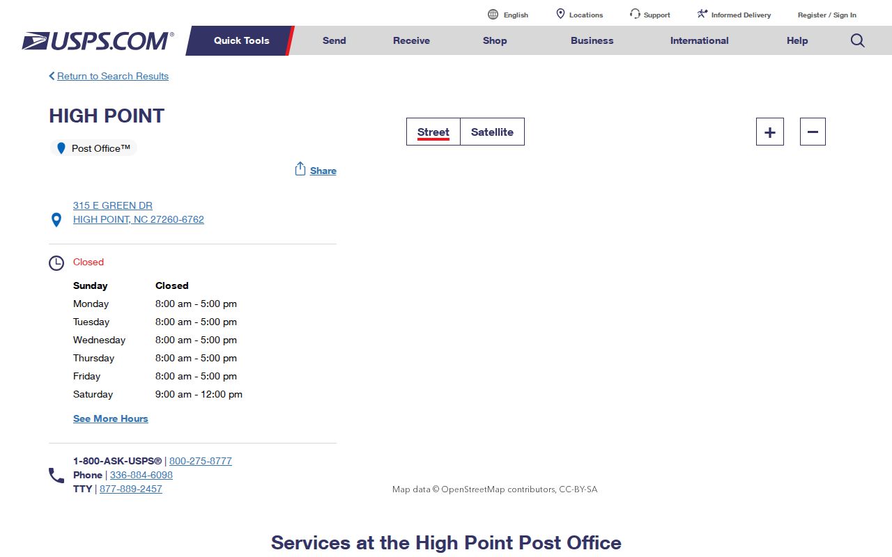
For a particular mailing line, use USPS to validate the postal form and then use GIS to test the street or parcel against city, county, and ZIP layers. That two-source check avoids treating an S&DC address or station label as a boundary map.
High Point ZIP 27264 History
Older High Point records can preserve a ZIP after the related postal operation changed. A 2011 USPS bulletin says the classified station for 27264 was discontinued, while the ZIP itself was retained. The official label list reviewed also keeps 27264 within High Point label context. Do not discard an old directory, deed correspondence, or government mailing simply because that ZIP does not resemble the current standard-delivery set.
Instead, search the street, number, legal description, and county alongside the printed ZIP. Historic High Point material can omit a ZIP entirely, use an older last line, or identify a postal place that does not decide city limits. The research did not locate a comprehensive official street-renumbering list, so a number that fails in a modern portal should be bridged with a deed description, subdivision plat, directory street section, Sanborn sheet, and current GIS situs rather than a guessed conversion.
Search a High Point ZIP
A ZIP-based investigation starts with geography, because the inspected property and voter interfaces do not both accept ZIP as a search field. Use a street or parcel to identify the map polygon, then move to the source suited to the question. This ZIP guide can narrow the postal context, but the record search remains parcel-, address-, name-, county-, or precinct-based.
- Confirm the address’s postal last line through USPS when the form of the mailing address matters.
- Open the High Point ZIP Code Boundaries layer and compare the street or parcel with City Limits, ETJ, and county overlays.
- Use the county property search with the address, owner, parcel number, REID, or PIN to locate the current parcel record.
- For voter information, use a name-first public check or ask the appropriate county board about a lawful list request and its actual cost.
- After the parcel is narrowed, continue with the High Point street directory for the address-by-address record trail.
This order prevents a common false shortcut: treating a High Point ZIP as a substitute for Guilford, Forsyth, Randolph, or Davidson County. The county must be established from the property and map context before choosing tax, deed, court, or election records.
High Point ZIP Map Boundaries
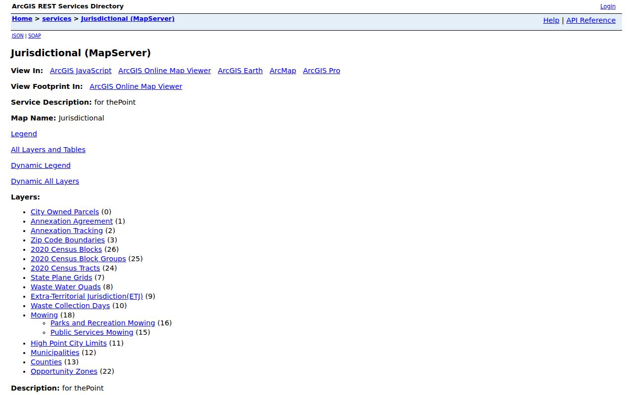
The city’s thePoint jurisdictional service carries a ZIP Code Boundaries layer alongside City Limits, ETJ, annexation tracking, 2020 census blocks and tracts, parcels, and roads. It is the local polygon source for comparing a ZIP with a parcel or street segment. Census ZCTAs are not USPS delivery boundaries, so they are not a substitute for USPS and city GIS when the question is an actual address.
The High Point ZIP boundary map service provides the local layers used to make that comparison.
The city is the only North Carolina municipality extending into Guilford, Forsyth, Randolph, and Davidson Counties. Its January 2026 geography context lists about 59 square miles inside city limits, a 3.2-square-mile ETJ, and a larger planning area. Those overlapping systems explain why a ZIP boundary is helpful but never conclusive for record routing.
High Point Property Search Fields
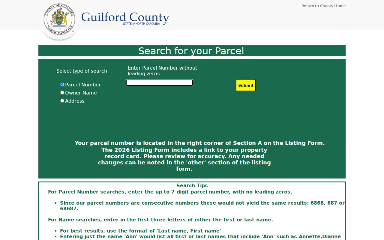
The Guilford property portals are important ZIP-adjacent tools because they find an individual parcel after the map has narrowed the address. The captured Guilford Real Property Listing offers Parcel Number, Owner Name, and Address modes. The NCPTS version also offers Owner or Business Name, Street #, Street Name, REID, and PIN. Neither captured interface exposes a ZIP-wide search or download filter, so do not expect a complete parcel list from entering a ZIP alone.
| Property field | Observed use | ZIP-search limit |
|---|---|---|
| Parcel Number | Up to 7 digits, no leading zero | Finds a known parcel, not all ZIP parcels |
| Owner Name | Partial text; last name, first name preferred | Locates a named owner, not a postal area |
| Address | First 3 street letters or first 3 address digits accepted | Use after verifying street and ZIP context |
| NCPTS Street # / Street Name | Separate fields; omit street type and direction | Structured address route, not a ZIP filter |
| REID / PIN | Parcel identifiers returned by property research | Moves an identified parcel between sources |
The Guilford Real Property Listing provides the observed parcel, owner, and address modes.
Its results can lead to current owner, mailing and situs addresses, REID or PIN, GIS links, values, photos where available, qualified sales, and appraisal material. County research did not open a live sample card, so those are possible record elements, not a promise that each card displays every field. A mailing address is also distinct from a parcel situs and is not proof of current presence at the property.
High Point ZIP Voter Limits
North Carolina’s public voter lookup accepts name fields and an optional county, not a ZIP filter. The public tool requires first name, last name, and a voter-status selection; a middle initial or year of birth can narrow a match. A High Point postal line should therefore never stand in for a county choice. Check the parcel and GIS first, then use the correct county and keep same-name results separate.
G.S. 163-82.10 allows requests for county or precinct voter lists and regulates selective and electronic files. Actual cost can be charged, and protected records require special handling. A request for an address-based list should state the county or precinct, date snapshot, public fields, and format. It must not seek to identify protected voters through another data source.
High Point ZIP Code Terms
- ZIP code
- A USPS delivery-routing code used in a mailing address. It is not a city-limit, county, or parcel-jurisdiction field.
- ZIP+4
- An added four-digit delivery refinement. The research did not identify a complete public High Point ZIP+4 list; verify an individual delivery point with USPS tools when available.
- P.O. Box ZIP
- A postal line used for box or alternate mailing patterns. It does not identify the physical location of the recipient or property.
- Institutional ZIP
- A ZIP assigned to a specific institution, such as High Point University’s 27268 postal line. It is a mailing clue, not a universal residential designation.
- Carrier route
- A mail-delivery grouping beneath a ZIP. It is not an ownership or resident list and was not captured as a bulk High Point lookup in the reviewed sources.
High Point ZIP City Limits
Myth. A High Point ZIP does not prove that a parcel is inside High Point or identify which county holds its records. USPS validates postal delivery information. thePoint and county GIS supply the local boundary check.
Municipal GIS assigns city limits and ETJ; USPS assigns delivery areas; county offices maintain land, tax, court, and election systems; and a census ZCTA is a statistical representation. These are related maps, not interchangeable labels. When they disagree, preserve the source and its date, then ask the relevant custodian about the specific parcel or record. That is more reliable than trying to resolve a boundary question from a last line alone.